Why Choose Mera Peak Climbing Via Panch Pokhari Route?
Quick Facts
|
Duration |
18 days, Kathmandu to Kathmandu |
|
Maximum Altitude |
6,476 m / 21,247 ft (Mera North summit) |
|
Trek Start |
Khiraule, Mahakulung, Solukhumbu (Day 2) |
|
Trek End |
Salleri, Solukhumbu (Day 15) |
|
Approach Route |
Panch Pokhari (Five Sacred Lakes), Solukhumbu Highlands |
|
Return Route |
Guranse, Gaikharka, Chapel, Salleri overland |
|
Summit Grade |
Alpine PD, non-technical glacier climb |
|
Physical Level |
Demanding — prior mountain trekking required |
|
Technical Level |
Basic alpine — crampons, ice axe, glacier travel |
|
Prior Experience |
Multi-day trekking above 3,500 m recommended |
|
Accommodation |
Hotel in Kathmandu; teahouses and homestays on approach; tented camp at High Camp |
|
Flights Required |
None. Fully overland route. |
|
Best Season |
March to May and September to November |
|
Group Size |
2 to 12 trekkers; private departures available |
What Is Mera Peak?
Mera Peak is located in the Hinku Valley of the Mahalangur Himal sub-range, east of the Khumbu and south of the Tibet border. The mountain has three recognized summits: Mera North at 6,476 meters, Mera Central at 6,461 meters, and Mera South at 6,065 meters. The standard summit objective and the one used in this package is Mera North, the highest of the three.
Is Mera Peak Technically Difficult?
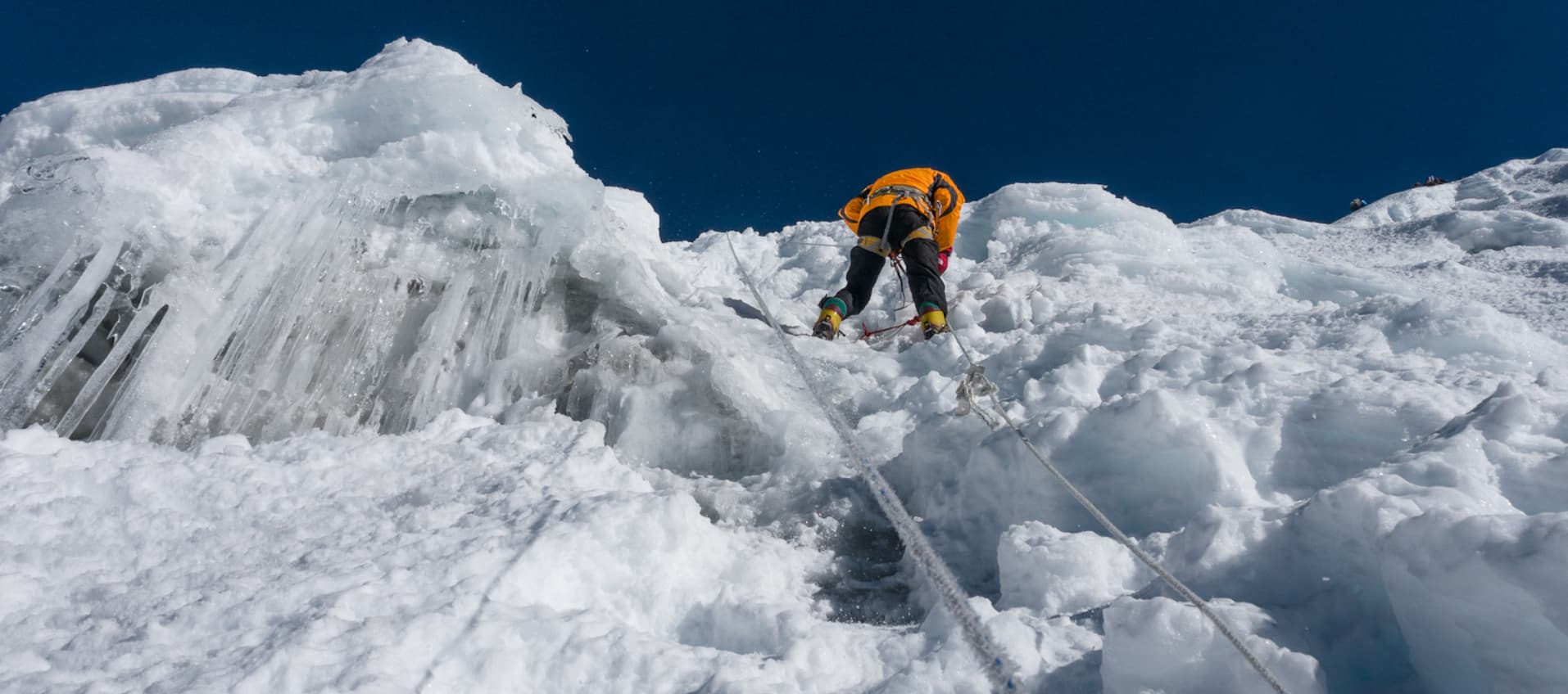
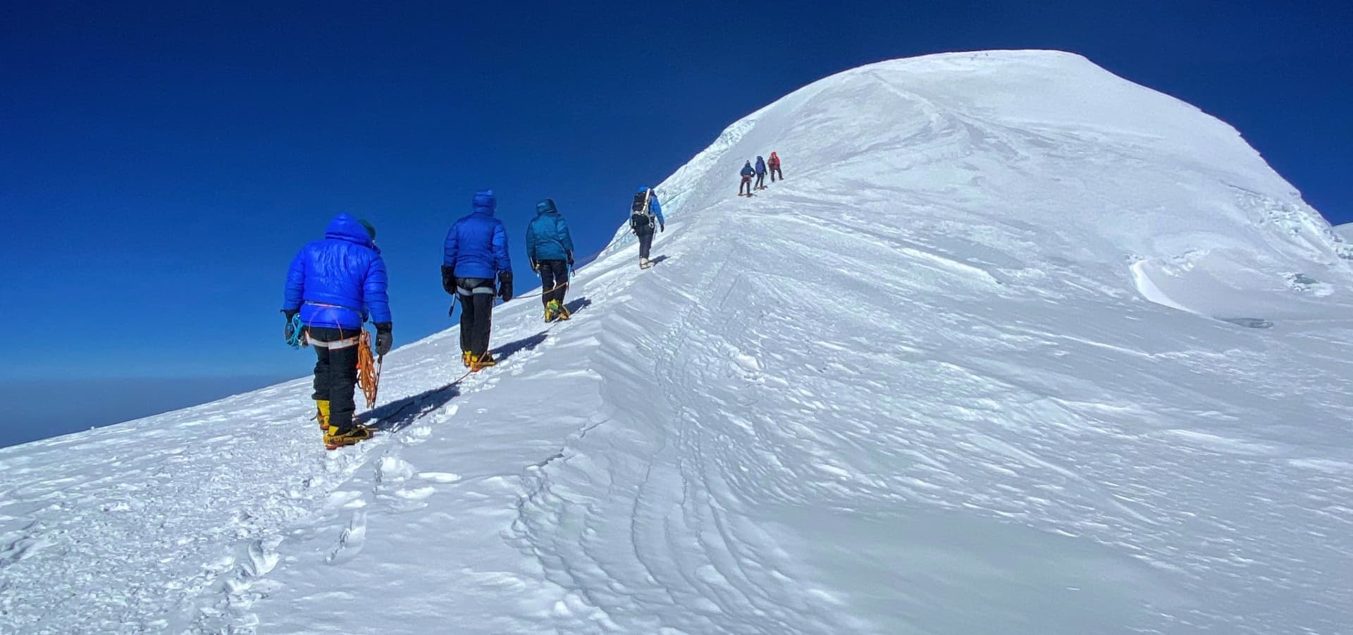
Mera Peak is graded Alpine PD (Peu Difficile) in the French alpine classification system, which translates loosely as slightly difficult. This places it well below the technical alpine and mixed routes that specialists pursue, but comfortably above a straightforward high-altitude walk. The summit route involves glacier travel with crevasse hazard, crampon and ice axe use on snow and ice sections, movement on fixed ropes where the guide installs them on steeper sections, and a summit push beginning in the early hours of the morning from High Camp at approximately 5,800 meters. None of these require prior mountaineering expertise if approached with proper instruction, but none can be dismissed as trivial either.
The main summit-day challenges are the altitude, the cold, and the sustained physical demand rather than any single technical obstacle. Reaching 6,476 meters means operating at roughly 47 percent of sea-level oxygen pressure. At that altitude, every movement costs more effort than at sea level, decisions take longer, and the body is working significantly harder than normal just to maintain temperature and function. A climber who has prepared well, acclimatized properly, and listened to their guide throughout the approach will find the route technically manageable. One who arrives under-trained or insufficiently acclimatized will find the altitude unforgiving regardless of their sea-level fitness.
Summit Success Factors
Typical summit success on Mera Peak depends on four things in roughly this order of importance: adequate acclimatization, good weather on summit day, physical fitness built over weeks of preparation, and technical competence with basic glacier equipment. The Panch Pokhari approach to Mera Peak addresses all four. The gradual altitude build through the approach, the acclimatization night at 4,200 meters at the Panch Pokhari lakes, and the Khare training session together give climbers a meaningful preparation advantage over faster approaches via Lukla.
Â
Mera Peak via Panch Pokhari: What Makes This Route Different
Most Mera Peak itineraries start with a 35-minute flight into Lukla and follow a well-worn trail through the Hinku Valley. This package takes a different road entirely. The Panch Pokhari route approaches Mera Peak from the south, driving into the Mahakulung area of lower Solukhumbu and then climbing on foot through rhododendron forest, Rai and Sherpa villages, and the sacred highland lakes basin known as Panch Pokhari before descending into the Hinku Valley at Kothe. No flight to Lukla. No crowds on the approach. No guesthouses serving the same trekker menu for forty years. A genuinely remote corridor through one of Nepal's most undervisited trekking landscapes.
Panch Pokhari means five lakes in Nepali. The five glacially fed alpine lakes at 4,200 meters are named Buwa Pokhari, Aama Pokhari, Chhora Pokhari, Buhari Pokhari, and Ghothalo Pokhari. These lakes are sacred pilgrimage sites for both Hindu and Buddhist communities, drawing thousands of devotees during the full moon festival in August each year. Trekkers are rare here outside the summer pilgrimage window. The Nepal Tourism Board lists Panch Pokhari Solukhumbu among the country's top new tourism destinations, but the trail still sees only a fraction of the traffic found on even the quieter Khumbu routes.
1. No Lukla Flight and No Flight Risk
Every overland alternative to Mera Peak solves the same practical problem: Lukla flights cancel. The mountain airstrip at Tenzing-Hillary Airport has one of the world's most restrictive operational weather windows, and delays of one to three days affect a meaningful percentage of trekking groups each season. This package eliminates that variable entirely. You arrive and depart by road. There is no standby queue at the domestic terminal, no day-long wait watching fog clear, and no need to build multiple contingency days into your post-trek plans.
2. Sacred Pilgrimage Lakes That Almost Nobody Else Visits
The five Panch Pokhari lakes sit in a wide alpine basin at 4,200 meters surrounded by dark rocky ridges. Thousands of Nepali pilgrims know and love this place, but very few international trekkers have walked through it. Arriving at a site of genuine spiritual significance for local communities, walking the same path pilgrims have walked for generations, and then continuing north into the Hinku Valley where the commercial climbing world of Mera Peak begins: the contrast between these two halves of the journey is one of its defining qualities.
3. Living Culture of the Mahakulung Solukhumbu
The lower approach through Khiraule and Cholem passes through Rai and Sherpa communities that have had very limited contact with organised trekking tourism. Khiraule village is home to the Ngonga Thyakchhok Chholing Monastery, established in 1738 and one of the oldest surviving monasteries in the Solukhumbu region. The Darjeeling-influenced architecture makes it unlike the whitewashed Tibetan-style gompas of the upper Khumbu. The families farming the hillside terraces around these villages are genuinely surprised to see trekking groups.
4. Superior Acclimatization for the Summit
The Panch Pokhari approach delivers trekkers to Kothe having already spent time at 3,350 meters at Cholem and 4,200 meters at the lake basin, before descending to Kothe at 3,580 meters. This gradual climb-and-partial-descent pattern is close to ideal acclimatization practice. By the time the team reaches Khare at 5,000 meters, the body has had four to five days of progressive altitude exposure, including a meaningful night at 4,200 meters. The standard Lukla approaches often involve a steeper and faster altitude gain. The Panch Pokhari route builds altitude in a more measured way, and the extra days at moderate elevation show up in better summit-day performance.
5. A True Circular Route With No Repeated Ground
In-and-out on the same trail is one of the less satisfying aspects of many trekking peak packages. This itinerary is a genuine circuit. The approach comes from the south through the Solukhumbu highlands. The return exits through a completely different southern corridor via Guranse, Gaikharka, and Chapel to Salleri. You never walk the same trail twice. The return section also passes through landscape that changes rapidly with altitude loss, from the high alpine terrain above Guranse to the forested ridges above Gaikharka.
6. Phokte Pokhari: The Lake Shaped Like Nepal
On the trail between Khiraule and Cholem, tucked into a fold of the hillside, sits Phokte Pokhari, a small lake whose shoreline, when viewed from the correct angle above, traces an outline almost identical to the map of Nepal. Locals have known about this for generations. The resemblance is genuine and the moment of recognition when you stand above the lake is one of those small, memorable travel surprises that no itinerary can fully prepare you for.
7. A Complete 6,000-Meter Summit With Full Local Support
The climbing section is run to exactly the same standard as other Mera Peak itineraries. Licensed and experienced climbing guides manage the Khare training session, the High Camp carry, and the summit push. The team arriving at Khare via Panch Pokhari has covered more ground, seen more variety, and built more acclimatization depth than most groups arriving through Lukla. All the same safety protocols apply: pulse oximeter monitoring from Khare onward, a spare contingency day built into the summit window, and mandatory travel insurance covering helicopter evacuation to at least 6,500 meters.
Â
Mountain Views and Scenic Attractions
The Panch Pokhari route delivers a wider variety of mountain views than the standard Lukla approach because the southern approach corridor and the return trail both offer angles on the Himalayan range unavailable from the Hinku Valley alone. Weather permitting, the following peaks are visible at different stages of the route.
From the Panch Pokhari Basin and Hurhure Pass
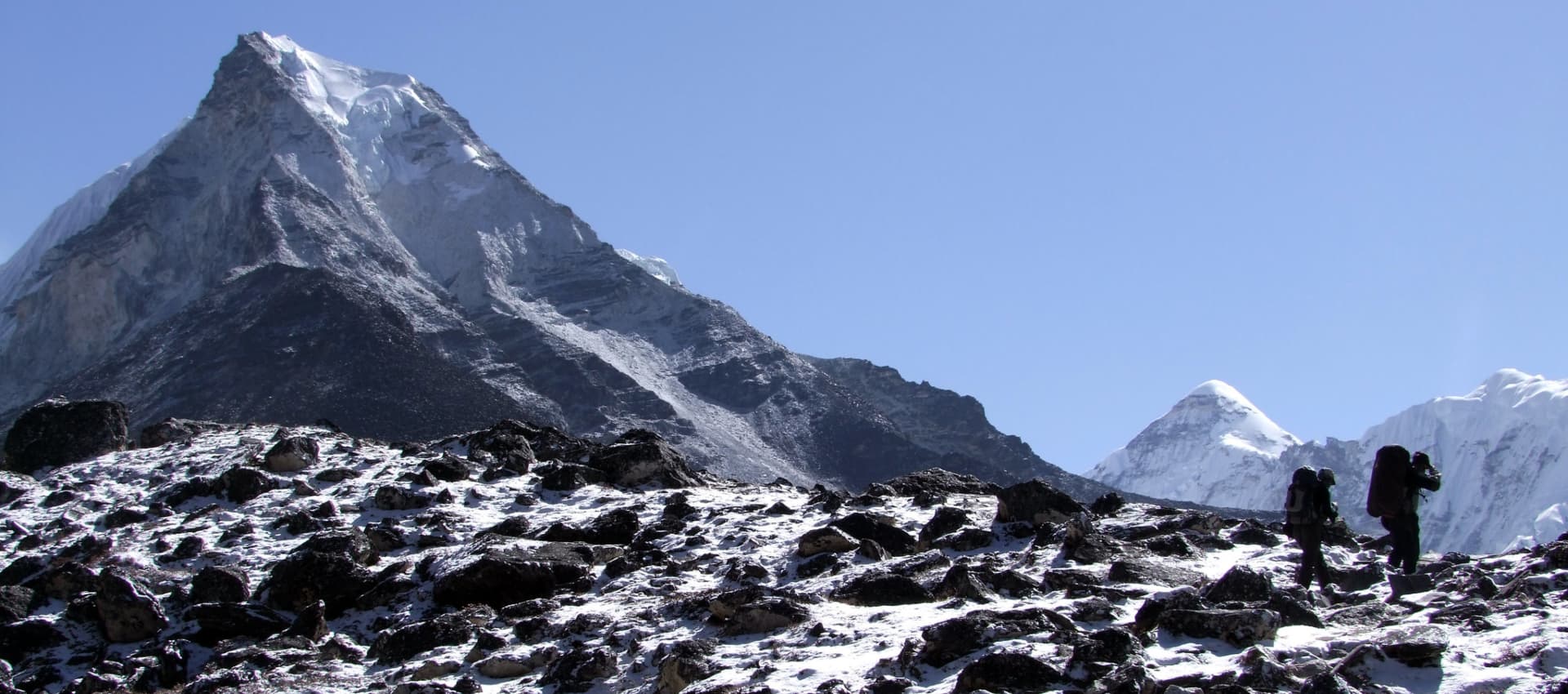
The upper approach to the Hurhure Pass at 4,274 to 4,286 meters opens views north and northeast toward the outer ridges of the Mahalangur Himal. On clear mornings, the distant white silhouettes of Chamlang (7,321 m) and the Baruntse massif (7,129 m) are visible above the intervening ridges. The scale of the view from the pass, looking down into the Panch Pokhari basin with the dark lake surfaces below and the high peaks visible beyond, is one of the strongest visual moments of the approach section.
From the Hinku Valley Approach to Khare
Descending from Panch Pokhari into the Hinku Valley and climbing through Kothe and Thangnag, the mountain scenery shifts to the dramatic scale of the Khumbu-adjacent range. Kyashar (6,769 m) and Kusum Kangru (6,367 m) dominate the western wall of the Hinku. Chamlang fills the eastern skyline. Mera Peak's own summit ridge becomes progressively clearer as the valley narrows toward Khare.
From Mera Peak Summit (Weather Permitting)
The summit view from Mera North at 6,476 meters is the highest point of the journey and, on a clear day, one of the finest panoramas accessible to non-technical climbers in Nepal. Visible peaks include:
-
Everest (8,849 m): The highest point on Earth, visible to the northwest on a clear summit morning.
-
Lhotse (8,516 m): Fourth highest, directly south of Everest and often the most prominent peak in the northwestern view.
-
Makalu (8,481 m): Fifth highest, to the northeast with its distinctive four-sided pyramid profile clearly identifiable.
-
Cho Oyu (8,201 m): Sixth highest, to the northwest, on the Nepal-Tibet border.
-
Baruntse (7,129 m): Visible to the northwest, dominating the middle distance.
-
Chamlang (7,321 m): Rising prominently to the east of the summit position.
-
Kangchenjunga (8,586 m): Visible on exceptionally clear days to the far east, the third-highest mountain on earth.
All views depend on weather conditions. No summit panorama can be guaranteed, and summit day is often preceded by cloud from mid-morning onward. Early departure from High Camp maximises the window for clear summit conditions.