Why Choose Kanchenjunga North and South Trek: 21 Days?
Last updated
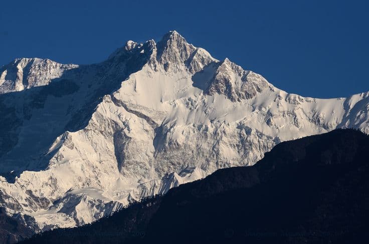
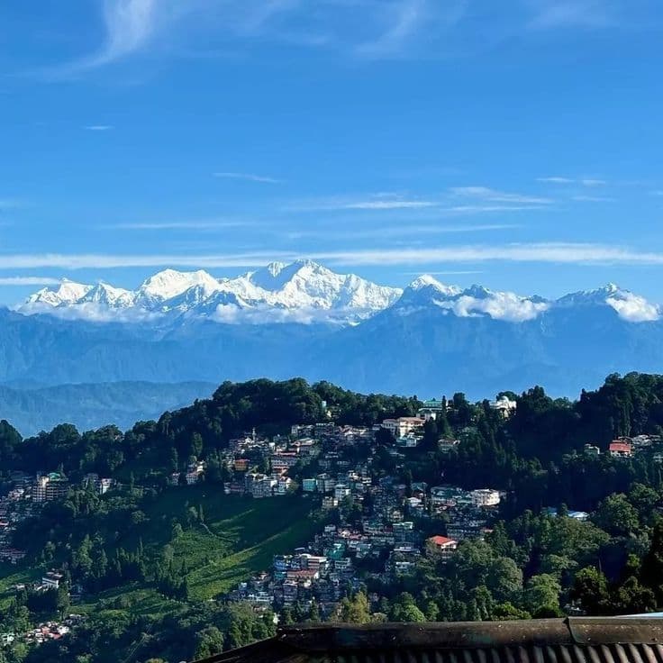
The Kanchenjunga North and South Trek is a 21-day circuit through the far eastern Himalaya of Nepal, taking you to both base camps of the world's third-highest mountain on a single continuous journey. The northern side delivers Pangpema (5,143m / 16,873ft), directly below the north face of Kanchenjunga (8,586m). The southern side gives you the Yalung Glacier and the approach to Oktang, where the mountain's southwest face fills the entire horizon. The Sele La pass, at roughly 4,290 metres, and the higher passes beyond it (Sinion La, Mirgin La and Sinelapche Bhanjyang, the highest at roughly 4,646 metres) connect the two.
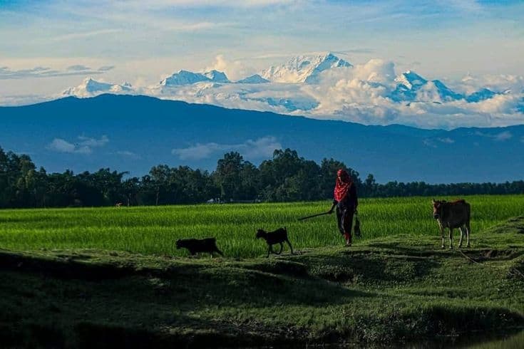
What separates this route from Nepal's better-known trekking corridors is the absence of crowds. Trekker numbers in Kanchenjunga are a fraction of those in the Khumbu or Annapurna regions. You pass through Limbu settlements in the lower valleys, Buddhist-Sherpa communities around Ghunsa, and long stretches of high alpine terrain where your group may be the only people on the trail for hours at a time.
This is a demanding trek. The days are long, the lodging above Ghunsa is basic, the altitude is real, and the Sele La crossing requires genuine preparation. Fit and experienced trekkers who are drawn to remote places and willing to accept the trade-offs of getting there will find it genuinely rewarding. Spring (March to May) and autumn (late September to November) are the two reliable seasonal windows. We would be glad to talk through whether this specific route suits your fitness and experience before you book.
Why Choose the 21-Day Kanchenjunga Circuit?
1. Both Base Camps in One Continuous Journey
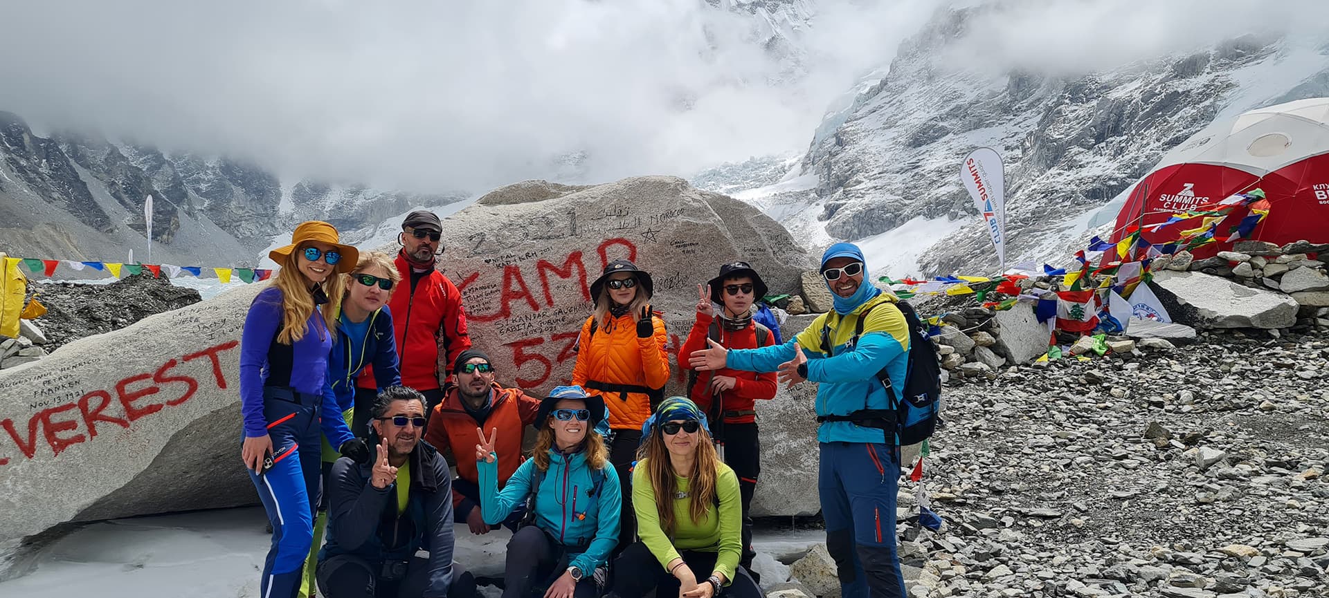
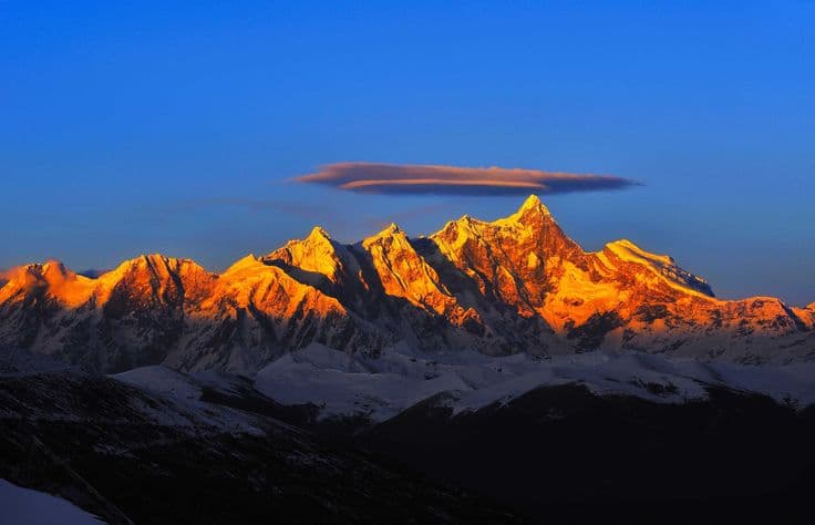
You reach Kanchenjunga North Base Camp (Pangpema, 5,143m) and the South Base Camp area on the Yalung Glacier side in a single circuit, seeing the mountain from two very different sides. The north face is sheer and vast, closing in dramatically on the final approach to Pangpema. The south-side view across the Yalung Glacier is broader and more panoramic. Most trekkers who have visited both describe them as genuinely distinct experiences rather than variations of the same thing.
2. Remote and Uncrowded Trails
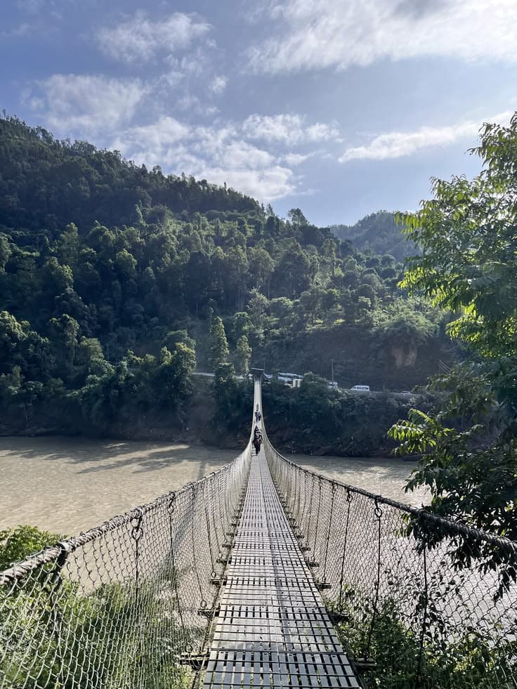
Trekker numbers in the Kanchenjunga region are substantially lower than in the Khumbu or Annapurna circuits. The trails through the Tamor River valley, the Ghunsa corridor, and the descent through Yamphudin carry a quieter character that the more popular Himalayan routes have largely lost. Long stretches of the route run through terrain where you are unlikely to see another trekking group for the better part of a day.
3. An Acclimatisation-Friendly Profile
The route gains height gradually through the first week. The opening days follow the subtropical Tamor River valley, climbing steadily from Sekathum through Amjilosa and Gyabla before reaching Ghunsa at around 3,595 metres on Day 7. The optional Jannu Base Camp side trip on Day 9 functions as a climb-high-sleep-low acclimatisation day before the push to Lhonak and Pangpema. Individual responses to altitude still vary, and the guide monitors this daily throughout the route.
4. Rich Limbu and Sherpa Culture
The route moves through two distinct cultural zones. The lower valleys are Limbu country: an indigenous nationality of eastern Nepal with a distinct language, script, animist and Hindu traditions, and a relationship to the land that is visibly different from the cultural patterns of the western hills. From Ghunsa upward, the influence shifts to Tibetan Buddhist Sherpa culture: monasteries, mani walls, prayer flags on ridgelines, and the Tibetan-influenced architecture of the high-valley settlements.
5. Experienced Guides and Porters
The team on this route is drawn from guides with specific Kanchenjunga experience. That matters here more than on many other routes: the weather patterns, the Sele La conditions, the lodge situation in the upper sections, and the altitude decision-making above 4,500 metres all benefit from genuine local knowledge. Porters carry loads within a sensible weight limit, receive appropriate equipment for the altitude they reach, and are covered by insurance. This is a standard, not a selling point.
6. Safety Protocols Matched to a Remote Route
Daily health checks above 3,500 metres, conservative turnaround criteria, and clear decision-making on the Sele La crossing are built into the team's standard practice. Communication and emergency evacuation planning are covered in the pre-departure briefing. Helicopter evacuation from the Kanchenjunga region is possible but weather-dependent and significantly more complex than from the Khumbu or Annapurna areas. That reality shapes every altitude decision the guide makes on this route.
7. Flexible Flight and Road Access
You can fly to Suketar Airport near Taplejung or fly to Bhadrapur and take the road to Taplejung. The overland option is longer but more reliable when Suketar's weather closes the mountain airport, which happens regularly in both spring and autumn. The return from Yamphudin via Ilam and Bhadrapur follows a similar principle: road travel is the fallback when flights are delayed. Building at least one buffer day into the schedule before your international departure is strongly recommended.
Kanchenjunga Circuit Highlights
- Pangpema North Base Camp (5,143m): the full north face of Kanchenjunga above the Kanchenjunga Glacier, one of the most dramatic base camp views in the Himalaya
- Oktang and the Yalung Glacier: the southwest face of Kanchenjunga from the southern approach, a completely different scale and character from the north side
- Sele La crossing (~4,290m) and the passes beyond it (Sinion La, Mirgin La and Sinelapche Bhanjyang, the highest at roughly 4,646m): the high passes linking north and south, crossing from the Ghunsa drainage into the Yalung valley system
- Jannu (Kumbhakarna, 7,711m) from Khambachen: one of the most technically formidable peaks in Nepal, visible in full from the optional Day 9 side trip toward its base camp
- Ghunsa: the largest settlement on the northern circuit section, a Tibetan Buddhist Sherpa village with an active monastery, mani walls, and a genuinely remote high-altitude character
- Limbu villages of the Tamor River valley: Sekathum, Amjilosa and the lower valley settlements carry the distinct cultural identity of one of Nepal's 59 indigenous nationalities
- Rhododendron forests above Gyabla: in spring the climb toward Ghunsa passes through dense rhododendron bloom across multiple species
- Lhonak (4,785m): the last permanent settlement before North Base Camp, stark glacial landscape and genuine remoteness
- Yamphudin to Ilam: the descent into Nepal's tea-growing east, a vivid contrast to the altitude and severity of the high circuit
- Pathibhara Devi Temple near Taplejung: a major Hindu and Kiranti pilgrimage site that many local trekking parties visit at the start or end of the journey
- Glacier and moraine terrain: the approach to Lhonak and the descent from the Sele La involve substantial moraine walking and glacial landscape that is rare on standard Nepal trekking routes
- Autumn and spring light: the far eastern Himalaya in October and November produces some of the clearest atmospheric conditions in Nepal, particularly for high-peak photography