Everest Region Guide
The Everest Region: A Complete Travel Guide to the Khumbu and Nepal's Roof of the World
Few places on earth carry the same concentrated weight of human aspiration as the Khumbu region of northeastern Nepal. This is where the world's highest mountain, Sagarmatha in Nepali and Chomolungma in Tibetan, both names that precede the English "Everest" by centuries, rises to 8,848.86 meters above sea level at a point where three tectonic plates have been pressing against each other for roughly 50 million years. But the Everest region is not simply a mountain. It is a landscape of extraordinary ecological and cultural complexity: high-altitude forests of juniper, birch, and rhododendron in the lower valleys; glaciated terrain above 5,000 meters; and a Sherpa Buddhist culture that has inhabited these altitudes for approximately 500 years and built one of the most distinctive high-altitude civilizations on the planet.
The Sagarmatha National Park, which encloses the core trekking area of the Khumbu, covers approximately 1,148 square kilometers of the Solukhumbu district in Koshi Province. It was established in 1976 and designated a UNESCO World Heritage Site in 1979, recognized for both its outstanding natural values and its cultural significance to the Sherpa people. The park encompasses several of the world's highest peaks within a compact area: Lhotse (8,516 meters), Makalu (8,485 meters), Cho Oyu (8,188 meters), and numerous peaks above 6,000 meters that serve as trekking peaks accessible to non-technical climbers with the appropriate permits and preparation.
Each year, between 30,000 and 50,000 registered trekkers enter the Sagarmatha National Park. The number fluctuates with global events and Nepal's permit policies, but the trajectory over the past two decades has been consistently upward. What draws this volume of visitors is not simply the proximity to the world's highest point but the combination of accessible high-altitude trekking infrastructure, Sherpa hospitality, the visual drama of the Khumbu peaks, and the particular atmosphere of a region where the mountains are understood as sacred entities rather than athletic objectives. This guide provides the practical and cultural knowledge needed to travel through the Khumbu with informed awareness of where you are and what it asks of you.
Geography, Ecology, and the Shape of the Khumbu
The Everest region is accessed from two directions. The classic approach is a flight from Kathmandu to Lukla's Tenzing-Hillary Airport (2,860 meters), a 40-minute journey that deposits trekkers directly at the gateway of the Khumbu's main valley corridor. The alternative is the lower Solu approach on foot from Jiri (1,905 meters) or Salleri, a multi-week walk that follows the route of the early Everest expeditions before the Lukla airstrip was constructed in 1964 by Sir Edmund Hillary's Himalayan Trust. The Jiri route adds seven to ten days to the standard Everest Base Camp itinerary but provides an ecological and cultural transition that the Lukla flight compresses into a single morning.
The primary river of the region is the Dudh Koshi, or Milky River, named for the glacial flour that gives its water a pale grey-blue color year-round. The Dudh Koshi drains the Khumbu glacier and several tributary glaciers and flows south through Namche Bazaar and Lukla before joining the Sun Koshi river system in the lowlands. The main trekking corridor follows the Dudh Koshi northward from Lukla through Phakding, Namche Bazaar, Tengboche, Dingboche, Lobuche, and Gorakshep to Everest Base Camp at 5,364 meters.
The ecological zones shift dramatically as elevation increases. Between 2,800 and 3,500 meters, the valley is characterized by temperate forest dominated by blue pine, fir, birch, and in spring a dense understory of rhododendron that colors the hillsides red, pink, and white. Between 3,500 and 4,500 meters, the forest gives way to scrub juniper, dwarf rhododendron, and open alpine meadows used as pasture for yak herds. Above 4,500 meters, vegetation becomes sparse and finally disappears entirely on the glacial moraines and rocky terrain approaching base camp. The transition between these zones is one of the most visually and physically informative aspects of the approach walk: the landscape itself teaches you about altitude in a way that no preparatory reading can quite replicate.
The Major Trekking Routes of the Everest Region
Everest Base Camp Trek
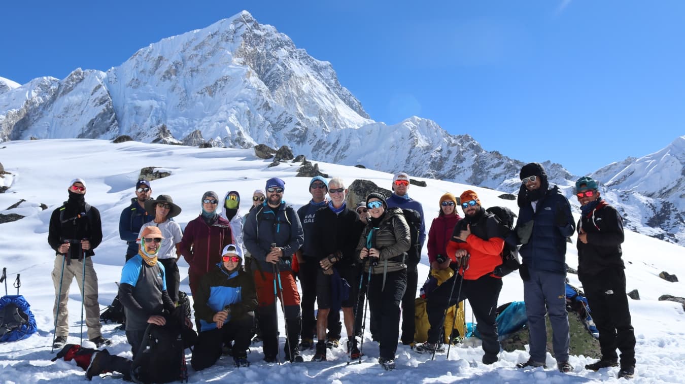
The Everest Base Camp (EBC) trek is the most famous trekking route in Nepal and among the most recognized long-distance walks in the world. The standard itinerary from Lukla covers approximately 130 kilometers round trip and takes between 12 and 16 days at a pace designed to support safe acclimatization. The trail moves through Namche Bazaar (3,440 meters), the commercial and cultural hub of the Khumbu, then north through Tengboche (3,860 meters), Dingboche (4,410 meters), Lobuche (4,940 meters), and Gorakshep (5,140 meters) before reaching Khumbu Base Camp at 5,364 meters on the southern flank of the Khumbu Icefall.
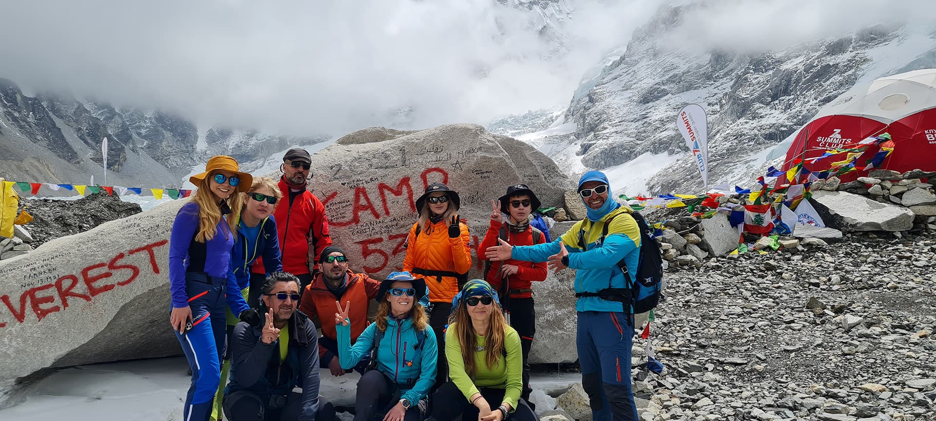
Base camp itself is not a viewpoint. During the spring mountaineering season (April through May), it is a functioning expedition city of tents, generators, and hundreds of mountaineers preparing for summit bids. During the trekking seasons (October through November and March through April), fewer expeditions are in residence, and the camp has a quieter, more accessible character. The classic visual objective of the base camp trek is actually Kala Patthar (5,645 meters), a rocky prominence above Gorakshep that offers the most widely photographed view of the Everest summit cone from a non-technical vantage point.
Gokyo Lakes and Gokyo Ri
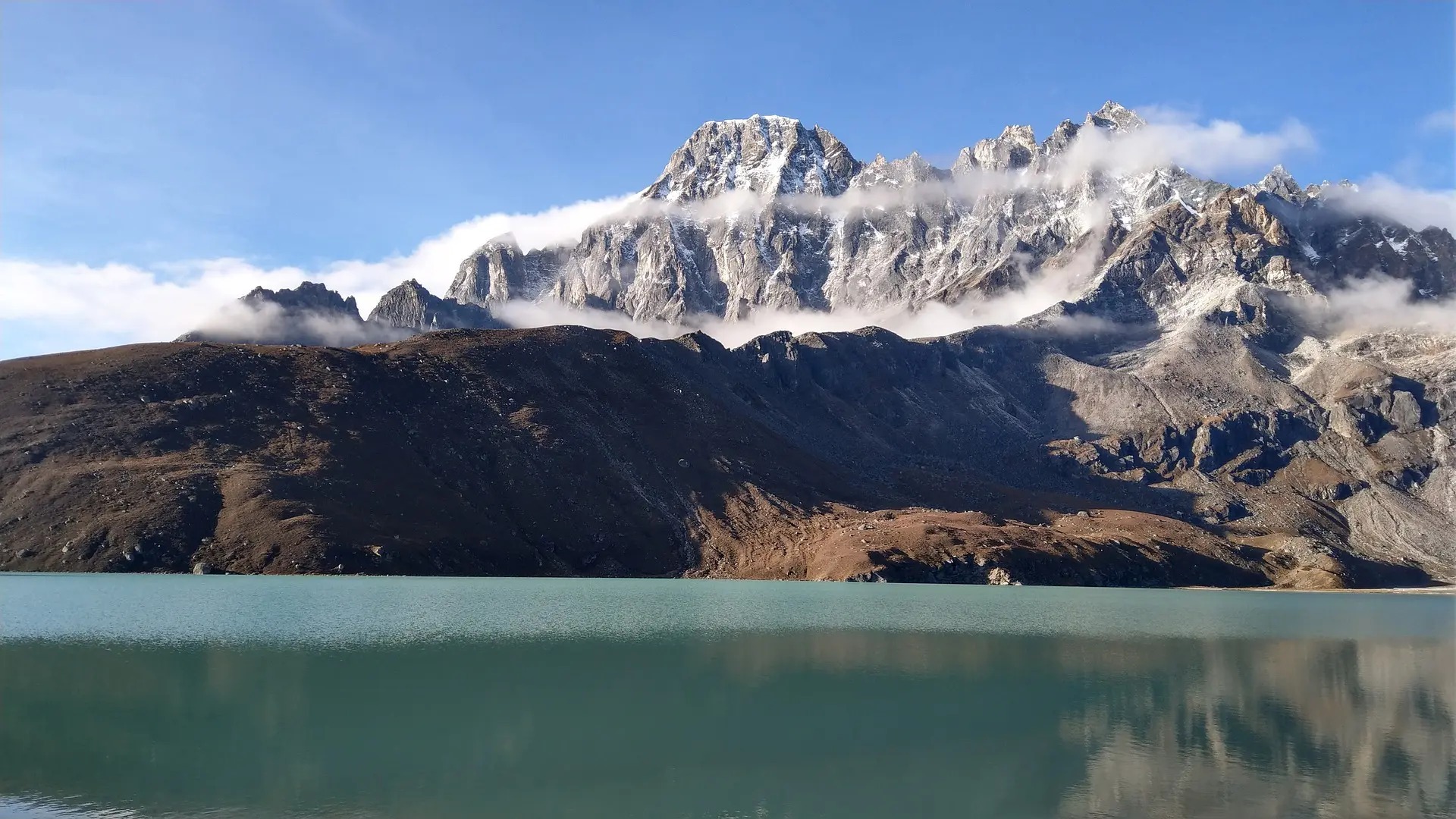
The Gokyo Valley branches westward from the main Khumbu corridor above Namche and leads to a chain of glacial lakes at approximately 4,700 to 5,000 meters, the highest freshwater lake system in the world. The largest of the five lakes, Gokyo Lake (4,700 meters), reflects the surrounding peaks on calm mornings with a clarity that makes the reflection difficult to distinguish from the actual mountains. Gokyo Ri (5,357 meters), the peak above the village of Gokyo, offers a panoramic summit view that many experienced trekkers consider superior to the view from Kala Patthar, taking in Cho Oyu, Gyachung Kang, Everest, Lhotse, Makalu, and the full sweep of the Ngozumpa Glacier, the largest glacier in the Himalayan range.
The Three Passes Trek
The Three Passes Trek is the most demanding and comprehensive circuit in the Everest region, crossing Renjo La (5,360 meters), Cho La (5,420 meters), and Kongma La (5,535 meters) in a 20 to 24-day itinerary that connects the Gokyo Valley, the Khumbu Valley, and the Chhukung Valley. The route visits most of the significant high-altitude viewpoints and villages of the Khumbu in a single circuit and is appropriate for trekkers with prior high-altitude experience and strong fitness. All three passes involve sections of rocky, potentially icy terrain that requires care and appropriate footwear.
Pikey Peak Trek and Lower Solu
Pikey Peak (4,065 meters) in the Solu region south of the main Khumbu offers one of the finest Everest panoramas in the entire region from a fraction of the altitude and with a fraction of the crowd density of the main corridor. The trek to Pikey Peak takes four to six days from the roadhead at Phaplu or Salleri and passes through Rai and Sherpa communities in the lower Solu hills. Sir Edmund Hillary reportedly described the view from Pikey Peak as among his favorites in the entire Himalayan range. For trekkers who have already done the standard base camp route and want a different perspective, or for those seeking a quieter introduction to the Sherpa cultural landscape, the lower Solu circuit is a genuinely underutilized option.
Island Peak and Mera Peak
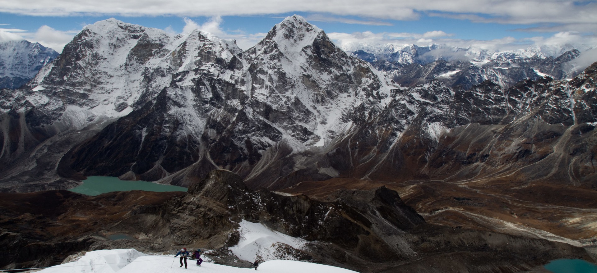
For trekkers with aspirations beyond the standard walking routes, Island Peak (Imja Tse, 6,189 meters) and Mera Peak (6,461 meters) are the two most popular trekking peaks in the Everest region. Both require a Trekking Peak permit from the Nepal Mountaineering Association, basic technical training in crampon use and rope work, and a good physical foundation from the approach trek. Island Peak is typically approached from the Chhukung valley as an extension of the EBC or Three Passes itinerary. Mera Peak sits in the Hinku valley east of the main Khumbu and is approached from Lukla via a separate southern route. Neither peak requires technical mountaineering experience at the level of the eight-thousanders, but both demand respect for altitude, weather, and objective hazard.
Permits and Entry Requirements: The Complete Paperwork Picture
The Everest region requires multiple permits, each serving a different regulatory function. Understanding the system before arrival prevents delays at checkpoints and ensures that all fees reach the intended institutions.
Sagarmatha National Park Entry Permit
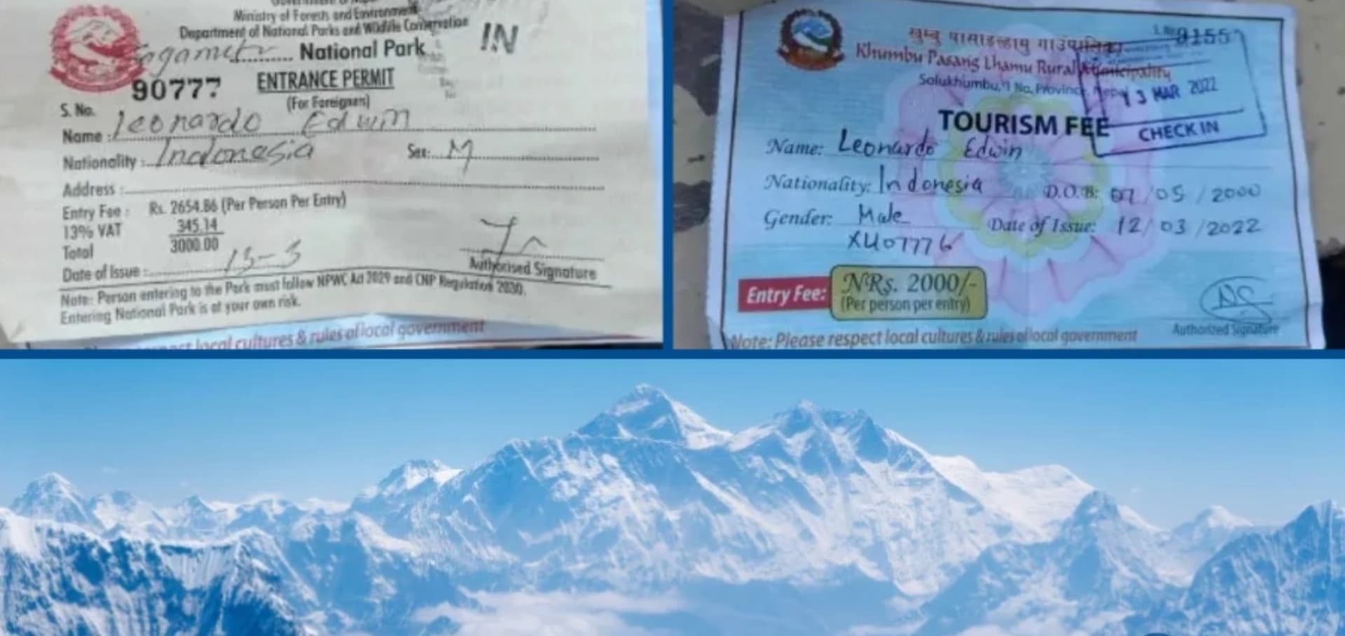
All trekkers entering Sagarmatha National Park require an entry permit, currently priced at NPR 3,000 per person for foreign nationals (approximately USD 22 to 25). SAARC nationals pay NPR 1,500. The permit is obtained at the park entry checkpoint at Monjo, approximately three hours walk north of Lukla, or in advance at the Department of National Parks and Wildlife Conservation office in Kathmandu. Trekkers arriving via the Jiri route pay at the first park checkpoint they reach. The permit must be carried and presented at all checkpoints within the park boundary.
TIMS Card
The Trekkers Information Management System (TIMS) card is required for all foreign trekkers in the Everest region and is obtained through a registered trekking agency or at the Nepal Tourism Board counter in Kathmandu's Bhrikutimandap compound or at the NTB office in Pokhara. The current fee is USD 20 for all trekkers. The TIMS card records personal details, emergency contacts, and planned route, and is checked at multiple points along the main Khumbu corridor.
Trekking Peak Permits
Island Peak, Mera Peak, Lobuche East, and other officially designated trekking peaks in the region require a separate permit from the Nepal Mountaineering Association (NMA). Fees vary by peak and season. Island Peak permit costs are approximately USD 250 per person during the spring and autumn peak seasons and USD 125 during the winter and monsoon periods. Mera Peak costs follow a similar structure. These permits must be applied for in Kathmandu through a registered agency and require a submitted climbing team list.
|
Permit |
Cost (Foreign National) |
Where to Obtain |
Applicable Routes |
|
Sagarmatha National Park |
NPR 3,000 (~USD 22) |
Monjo checkpoint or Kathmandu NP office |
All Khumbu treks |
|
TIMS Card |
USD 20 |
NTB / TAAN office, Kathmandu |
All trekkers |
|
Island Peak Permit |
USD 250 (peak season) |
Nepal Mountaineering Association, Kathmandu |
Island Peak (Imja Tse, 6,189m) |
|
Mera Peak Permit |
USD 250 (peak season) |
Nepal Mountaineering Association, Kathmandu |
Mera Peak (6,461m) |
Note: Permit fees are set by the Government of Nepal and are reviewed periodically. Confirm current rates with your agency at the time of booking, as they may have been updated since this guide was written.
Sherpa Culture: The People Who Made Everest Accessible
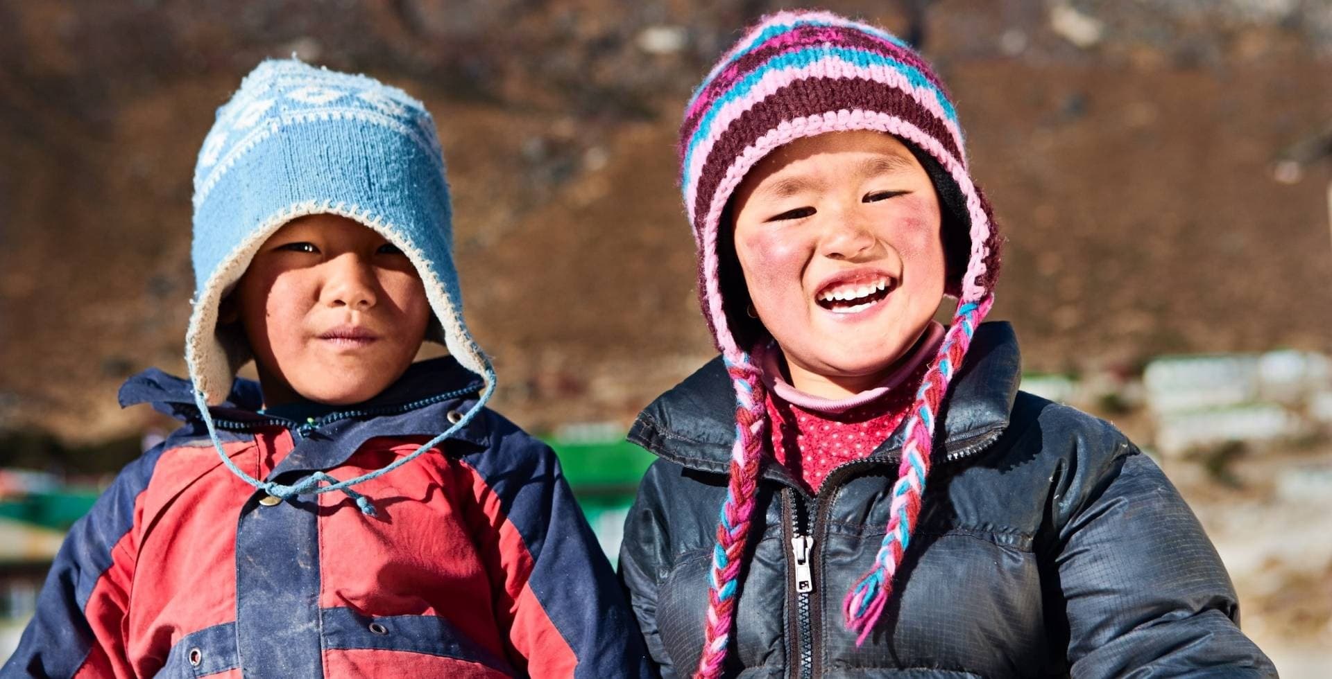
The word "Sherpa" is both an ethnic designation and a job title, and the conflation of the two is one of the most persistent misunderstandings in the language of Himalayan travel. Sherpa with a capital S refers to the ethnic group of Tibetan origin who migrated into the Khumbu valley from eastern Tibet approximately 500 years ago, around the 15th or 16th century, settling at altitudes between 3,000 and 4,500 meters and adapting their pastoral and agricultural practices to an environment that most other ethnic groups did not attempt to inhabit year-round. Sherpa with a lowercase s refers to the high-altitude porters, guides, and climbing assistants who support mountaineering expeditions and trekking groups throughout Nepal, a workforce drawn from many different ethnic communities, not only the Sherpa ethnic group. Understanding this distinction is a basic courtesy to the Sherpa people, whose cultural identity is considerably more complex and interesting than the occupational category that has absorbed their name.
The Origins and History of the Khumbu Sherpa
Sherpa oral history and recent genetic research both indicate an origin in eastern Tibet, in the Kham region, with a migration westward and then southward through the Nangpa La pass (5,716 meters) at the head of the Khumbu glacier. The Nangpa La remains an active trade and pilgrimage route between Nepal and Tibet and forms the northern boundary of the Khumbu. The early Sherpa settlers found a landscape with rich summer pasture for yak herds, sufficient arable land at lower elevations for potato and buckwheat cultivation, and a natural position astride the trans-Himalayan trade routes that allowed them to develop a prosperous trading economy supplemented by agriculture and herding.
The arrival of British mountaineering expeditions in the early 20th century introduced a new economic dimension. Sherpas from the Khumbu were recruited as high-altitude porters for the early Everest expeditions, beginning with the reconnaissance of 1921, and their physiological adaptation to altitude, cultural familiarity with the terrain, and proven reliability at extreme elevations created a global reputation that persists today. Tenzing Norgay, who reached the Everest summit with Edmund Hillary on May 29, 1953, was a Sherpa from the Khumbu region, and his achievement became both a source of immense Sherpa pride and, in subsequent decades, a template for the commercialization of Everest guiding.
Tibetan Buddhism in the Khumbu
The Sherpa people practice Tibetan Buddhism of the Nyingma school, the oldest of the four major schools of Vajrayana Buddhism, founded on the teachings brought to Tibet by Padmasambhava in the 8th century. The Khumbu is dotted with monasteries, chortens, mani walls, and prayer flag installations that together constitute a landscape that has been actively spiritualized for centuries. The monasteries are not decorative; they are functioning religious institutions with resident monk and nun communities, active ceremonial calendars, and ongoing roles in Sherpa social life including birth ceremonies, marriage blessings, death rituals, and annual festivals.
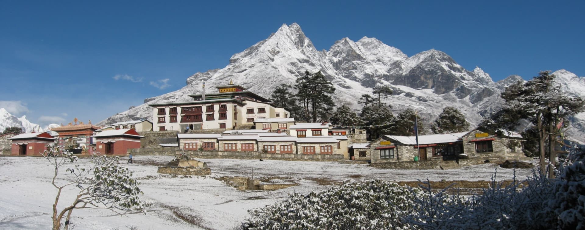
Tengboche Monastery (3,860 meters) is the most visited and most architecturally impressive monastery in the Khumbu. Founded in 1916 by Lama Gulu and rebuilt twice following a fire in 1934 and an electrical fire in 1989, the current structure sits on a glacially deposited terrace with a 360-degree view that includes Ama Dablam, Everest, Nuptse, Lhotse, Thamserku, and Kantega. The monastery hosts the Mani Rimdu festival in October or November, a three-day masked dance ceremony that represents the triumph of Buddhist teaching over negative forces, and is one of the most significant cultural events in the Khumbu calendar. The abbot of Tengboche is considered among the most important religious figures in the region, and the monastery runs a cultural center that provides contextual information for visitors.
Thame Monastery in the upper Bhote Koshi valley, and Khumjung Monastery in the village below Namche, are two further significant sites. Thame is associated with the family of Tenzing Norgay and with the meditation cave of the celebrated yogi Milarepa. Khumjung Monastery is known for housing a purported yeti scalp, an artifact whose origins remain debated but whose cultural significance to the local community is genuine regardless of the zoological verdict. The Hillary School in Khumjung, built by Sir Edmund Hillary's Himalayan Trust in 1961, was the first school in the Khumbu region and represents the beginning of a systematic education infrastructure in the area.
The Sacred Mountains: Peaks as Deities
In Sherpa cosmology, the major peaks of the Khumbu are not geographic features but deities. Chomolungma (Everest) is understood as the mother goddess of the world, Miyolangsangma, one of the five long-life sisters venerated in the Nyingma tradition. Ama Dablam, the peak that dominates the middle section of the EBC trail at 6,812 meters, is named for the amulet box (dablam) worn by Sherpa mothers (ama) and is considered a protective deity for the valley. Khumbila, a peak at 5,761 meters above Khumjung that is never climbed out of respect for its sacred status, is the tutelary deity of the Khumbu region as a whole.
This relationship between the Sherpa community and their mountains has practical consequences for the way trekking and climbing operates in the region. Before any serious mountaineering expedition departs from base camp, a puja ceremony is conducted by a lama to seek permission from Miyolangsangma for the ascent and to request protection for the climbers. The ceremony involves the burning of juniper incense, offering of food and drink to the mountain deity, prayer flag installation, and the blessing of equipment. Trekkers passing through base camp during the spring or autumn expedition season will frequently observe these ceremonies. They are not performances for tourists but genuine religious obligations that the climbing community takes seriously.
Cultural Protocol in the Khumbu
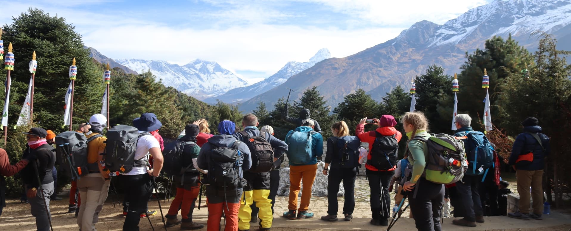
The protocols of respectful behavior in the Khumbu follow broadly the same principles as in other Tibetan Buddhist regions of Nepal. Mani walls and chortens are circumambulated clockwise, keeping them on your right. Monastery visits require removed footwear, respectful dress (no shorts or sleeveless tops), and camera discretion inside prayer halls. Asking permission before photographing people, particularly monks, nuns, and people in ceremonial dress, is both courteous and practically wise: the Khumbu's heavy trekking traffic has made some community members genuinely weary of being photographed by strangers without acknowledgment.
Namche Bazaar deserves specific mention as the cultural and commercial center of the Khumbu. The weekly Saturday market in Namche has operated for generations as the primary exchange point for goods moving between the lowlands and the high valleys. Today it draws traders from Tibetan communities north of the Nangpa La as well as from the lower Solu hills, and the goods for sale reflect the full range of the region's economy: yak cheese, dried meat, Tibetan carpets, hardware, clothing, vegetables carried up from Lukla, and a range of trekking supplies. Spending a Saturday morning at the Namche market is one of the best ways to observe the Khumbu's commercial life functioning at a scale and pace that predates the trekking industry entirely.
Food and Eating in the Khumbu: From Dal Bhat to Namche Bakeries
The teahouse food system in the Khumbu is more developed and, at its best, of higher quality than almost anywhere else in Nepal's mountain regions. The combination of a well-established supply chain via the Lukla flight and a competitive market of several hundred teahouses along the main corridor has produced a food environment where variety is genuine and quality is generally reliable.
Dal Bhat and the Trail Staples
Dal bhat remains the nutritional foundation of the trail regardless of the expanding menu options available in Namche and the larger teahouse hubs. The combination of rice, lentil soup, seasonal vegetable curry, fermented greens, and pickle provides the caloric density and carbohydrate load that sustained uphill walking at altitude genuinely requires. Most teahouses on the main EBC trail offer unlimited dal bhat refills at lunch and dinner, and this policy is worth using fully: at 4,000 meters and above, appetite frequently suppresses before caloric needs are met, and the practice of eating a full meal even when hunger signals are muted is an important altitude management strategy.
Beyond dal bhat, Sherpa stew (thukpa or a thick potato, vegetable, and noodle soup) and Sherpa bread (a dense flat bread baked on a stone or pan, often served with butter and honey) are specific to the Khumbu and worth seeking out. Potato dishes appear in many forms: fried potatoes with garlic and onion, potato curry, rosti-style hash, and boiled potatoes with chili sauce. The Khumbu's agricultural base historically relied heavily on potato cultivation, which was introduced to the region in the 19th century and became the dominant crop at altitudes unsuitable for rice or wheat.
Namche Bazaar's Food Scene
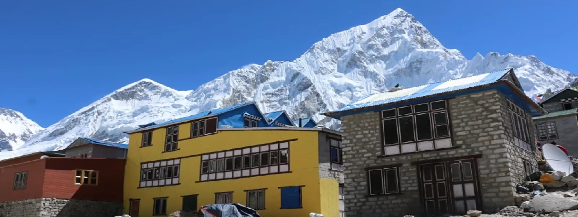
Namche Bazaar (3,440 meters) has developed a food and hospitality infrastructure that would be impressive at any altitude and is genuinely remarkable given that everything on every menu arrived by foot or by Lukla cargo flight. The town has multiple espresso cafes producing proper shots from imported machines, a rotating selection of bakeries offering fresh-baked bread, cinnamon rolls, apple pie, and chocolate brownies, restaurants with full menus covering Nepali, Tibetan, Indian, Italian, and Western breakfast options, and several establishments with wood-fired ovens producing pizza that trekkers arriving from Lukla find almost surreally good.
The Namche food infrastructure exists because Namche is where most acclimatization days are spent on the standard EBC itinerary. Two nights in Namche with a rest day is the minimum acclimatization requirement before moving higher, and the town has built an economy around keeping trekkers comfortable and entertained during those days. The gear shops, the internet cafes, the bakeries, and the panoramic-view restaurants all serve an acclimatization population that spends real money while sitting still at altitude.
Yak Products and High-Altitude Dairy
The Khumbu's pastoral economy is built around the dzo, a hybrid of yak and domestic cattle (the female is called dzom) that is better suited to the mid-altitude pastures between 3,000 and 4,500 meters than pure yak. Yak and dzo products, including butter, cheese, yogurt, and dried meat, are staples of the local diet and appear in various forms on teahouse menus. Yak cheese (chhurpi) comes in two forms: soft fresh cheese eaten immediately, and hard dried cheese that is chewed slowly over hours and functions as a concentrated protein source for herders. The hard chhurpi sold by vendors in Namche and along the trail is an authentic local food worth trying.
Butter tea (po cha) appears in teahouses and private homes throughout the upper Khumbu, replacing or supplementing the conventional sweet milk tea of the lower elevations. At 4,000 meters and above, the salty, fat-rich butter tea performs a genuine nutritional function by providing calories in a form that requires no digestion and warms the body from within. It is not universally liked by Western visitors on first encounter, but its purpose becomes clearer in the context of sustained cold and altitude.
Water and Food Safety
All water sources in the Khumbu require treatment before drinking, including glacial meltwater that appears pristine. Giardia and other waterborne pathogens are present throughout the region due to the combination of trekker volume and the concentration of human and yak waste near water sources at altitude. Boiled water is available at all teahouses for a small fee (typically NPR 50 to 100 per liter) and is the standard recommendation. Personal water filter bottles (Sawyer Squeeze, LifeStraw, SteriPen, or similar) provide an alternative that reduces both cost over a long trek and dependence on plastic bottles.
Food safety on the main EBC trail is generally reliable at established teahouses that cook to order. The higher risk foods at altitude are reheated items, pre-cooked dishes that have been sitting for extended periods, and raw vegetables washed in untreated water. Dal bhat cooked fresh, boiled eggs, and soups made with boiled water are the lowest-risk options. Above Dingboche, where the supply chain becomes less frequent, menu variety decreases and the safest approach is sticking to simple cooked dishes rather than attempting elaborate orders from printed menus that may exceed current supply.
When to Visit the Everest Region: Seasons and Weather Patterns
The Khumbu's weather is governed by the same South Asian monsoon system that shapes climate across the Himalayan range, with two reliable trekking windows bookending the summer rain season. The region sits at higher base elevations than the Annapurna area, which means temperature ranges are more extreme across all seasons and snow is a year-round presence above 5,000 meters.
|
Month |
Season |
Conditions |
Trekking Suitability |
|
January |
Deep winter |
Cold; snow above 4,000m; Kala Patthar can be icy |
For experienced cold-weather trekkers only |
|
February |
Late winter |
Cold improving; clear skies common |
Viable with proper gear; quieter trails |
|
March |
Pre-spring |
Rhododendrons blooming at lower elevations |
Good; conditions improving rapidly |
|
April |
Peak spring |
Warm days; stable weather; expedition season begins |
Excellent; busy but best mountain views |
|
May |
Late spring |
Pre-monsoon; warm; expeditions on summit rotation |
Good for lower trails; EBC very crowded |
|
June |
Monsoon start |
Rain, cloud; trails slippery; leeches in Solu section |
Not recommended for most trekkers |
|
July |
Monsoon peak |
Heavy rain; poor visibility; trail hazards |
Not recommended |
|
August |
Monsoon |
Continuing rain; trails wet but landscape vivid green |
Not recommended for Khumbu |
|
September |
Monsoon end |
Clearing skies; trails drying; vegetation lush |
Very good; visibility improving daily |
|
October |
Peak autumn |
Clear; dry; optimal mountain views; most popular month |
Excellent; most crowded; book teahouses early |
|
November |
Autumn close |
Cool; clear; fewer trekkers by mid-month; cold nights |
Very good; best crowd-to-condition ratio |
|
December |
Winter start |
Cold; snow at altitude; some lodges closing above Namche |
Viable with proper cold-weather gear |
October is the single busiest month in the Khumbu, when the post-monsoon atmospheric clarity combines with school and work holiday schedules across Europe, North America, and East Asia to produce maximum trekker density on the main EBC trail. The section between Namche and Tengboche on a clear October day can feel genuinely congested, with dozens of trekking groups moving in both directions simultaneously. Teahouse accommodation in Dingboche and Lobuche requires advance booking in October; arriving without a reservation and expecting to find a room is unrealistic.
November offers a compelling alternative to October for trekkers with flexibility. The weather remains clear and dry, temperatures drop noticeably at night above 4,000 meters (to minus 10 or minus 15 degrees Celsius at Gorakshep), but the trail density drops significantly after the first week as the peak season crowds thin. The mountain views in November are frequently as good as October, and the experience of the trail is quieter and more contemplative.
The spring window from March through May is the second major trekking period and coincides with the mountaineering expedition season. April and May at Everest Base Camp during active expedition season produces a different atmosphere from the autumn: the camp is populated by hundreds of climbers, Sherpas, and expedition support staff, and the organizational energy of serious summit attempts gives the area an intensity that autumn base camp visits, when the camp is largely empty, do not have. Trekkers who want to witness an active expedition environment choose spring. Those who want a quieter, more contemplative base camp experience choose the autumn or very early spring before April.
Altitude, Acclimatization, and Health on the EBC Trail
The Everest Base Camp trek reaches 5,364 meters at base camp and 5,645 meters at Kala Patthar. These altitudes place all trekkers in a zone where Acute Mountain Sickness, High Altitude Pulmonary Edema, and High Altitude Cerebral Edema are genuine risks if ascent is rushed. The standard itinerary is deliberately paced to allow the body's acclimatization response to keep pace with the altitude gain, but individual variation in acclimatization ability is significant and cannot be predicted from fitness level alone. Highly fit athletes sometimes acclimatize poorly; less fit but physiologically fortunate individuals sometimes move through the same altitudes with minimal symptoms.
The Standard Acclimatization Protocol
The recommended acclimatization pattern for the EBC trek follows the "climb high, sleep low" principle: on rest days, a half-day hike to a higher elevation than the night's sleeping altitude helps accelerate the body's production of red blood cells and its adjustment to reduced oxygen partial pressure, while returning to sleep at a lower elevation prevents the sleep disruption and symptom worsening that occur when altitude is gained too quickly.
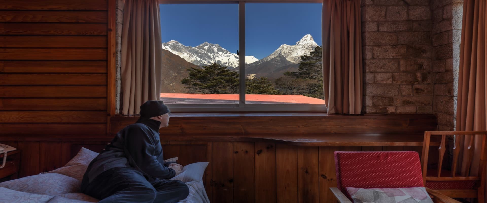
The two standard acclimatization stops on the EBC itinerary are Namche Bazaar (3,440 meters) and Dingboche (4,410 meters). At Namche, the recommended acclimatization hike climbs to the Everest View Hotel (3,880 meters) above the village or to Khumjung (3,790 meters), providing views of Everest, Ama Dablam, and the upper Khumbu before returning to sleep in Namche. At Dingboche, the recommended hike climbs to the ridge above the village at approximately 4,900 meters or toward the Chhukhung valley for views of Island Peak and Lhotse's south face. These half-day excursions are not optional extras but integral components of a responsible ascent profile.
Recognizing and Responding to AMS
Mild AMS is extremely common above 3,000 meters and presents as headache, fatigue, loss of appetite, nausea, and disrupted sleep. These symptoms are the body's normal response to altitude and do not in themselves indicate an emergency. The correct response is to stop ascending, rest at the current elevation, hydrate well (three to four liters of water daily minimum), eat easily digestible foods, and monitor whether symptoms improve within 24 to 48 hours. Most mild AMS resolves with rest and acclimatization.
The warning signs that indicate serious AMS requiring immediate descent are: breathlessness at rest (not just during exertion), a wet cough producing frothy or pink-tinged sputum (HAPE), loss of coordination or balance when walking in a straight line (HACE), confusion or disorientation, severe headache that does not respond to ibuprofen or paracetamol, and any symptom that is worsening rather than improving after 24 hours at the same altitude. Any of these signs requires descent immediately, regardless of the time of day or night, regardless of how close the trekker is to their objective, and regardless of how much they have invested in the trip. Descent is the only reliable treatment for serious AMS complications.
The Himalayan Rescue Association operates high-altitude medicine clinics in Pheriche (4,371 meters) and occasionally in Manang during trekking seasons, staffed by volunteer physicians. The clinic in Pheriche is specifically positioned on the main EBC approach to catch trekkers before they enter the highest and most medically serious section of the trail. Attendance at the HRA's daily altitude awareness lecture, held each afternoon during the trekking season, is free and provides information that is directly relevant to the days ahead.
Medication and Supplemental Oxygen
Diamox (acetazolamide) at 125mg to 250mg twice daily is the most commonly used pharmaceutical aid for acclimatization. It works by stimulating the kidneys to excrete bicarbonate, which acidifies the blood slightly and in turn drives the respiratory system to breathe more deeply and frequently. This increased ventilation raises blood oxygen levels. Diamox is most effective when started 24 hours before ascending to altitude and maintained through the period of maximum elevation gain. It is a sulfonamide derivative and is contraindicated for individuals with sulfa allergies; it also causes increased urination and occasionally a tingling sensation in the extremities. Consult a physician before departure to discuss whether Diamox is appropriate for your medical profile.
Supplemental oxygen is sometimes available at teahouses in Gorakshep and at the HRA clinic for emergency use. It is not a standard trekking supply and should not be treated as a safety substitute for proper acclimatization. Using supplemental oxygen to push through AMS symptoms without descending is dangerous and has contributed to serious incidents on the upper trail. Guides carry supplemental oxygen for genuine emergencies but should not be pressured to deploy it as an alternative to the correct response, which is descent.
Practical Logistics: Getting There, Getting Around, and Staying Connected
The Lukla Flight
Tenzing-Hillary Airport in Lukla (2,860 meters) is one of the most frequently referenced short airstrips in aviation due to its steep uphill runway, the surrounding terrain, and the weather dependency that makes schedule reliability a genuine variable. The runway is 527 meters long with a gradient of approximately 12 degrees, situated on a shelf cut into the mountainside above the Dudh Koshi gorge. Flights from Kathmandu take 35 to 40 minutes and are operated by small twin-turboprop aircraft (typically Twin Otter or similar) operated by Tara Air, Summit Air, and Sita Air. The aircraft seat nine to nineteen passengers.
Cancellations due to weather are common, particularly in the winter months, during the monsoon, and on any morning when the cloud base in the Lukla valley drops below the minimum for visual flight rules approaches. In peak season, a single day of cancellations can create a backlog of several days as airlines work through the accumulated passenger list. Building three to five buffer days into any Lukla-based itinerary is standard advice for exactly this reason. Travelers with fixed international departure dates who cannot absorb flight delays should discuss helicopter charter options with their agency as a backup.
Helicopter Options
Helicopter charter from Kathmandu to Lukla, or from Kathmandu directly to Namche Bazaar or Phaplu, is increasingly used by trekkers who want to eliminate the flight schedule uncertainty of fixed-wing aircraft or who are on time-constrained itineraries. Helicopter charter costs from Kathmandu to Lukla run approximately USD 350 to 500 per person on a shared basis, and significantly more on a private charter. Helicopters are also the primary emergency evacuation mechanism for medical emergencies anywhere in the Khumbu, which is why comprehensive travel insurance with helicopter evacuation coverage is non-negotiable for this region.
The Jiri Walk-In Route
The walk-in from Jiri (1,905 meters) to Lukla takes seven to ten days and was the standard approach for all Everest expeditions before the Lukla airstrip opened in 1964. The route passes through Solu district's Rai and Sherpa communities, crosses several ridges above 3,000 meters, and provides a genuine ecological and cultural transition from the lowland hills to the Khumbu. Trekkers who walk in from Jiri arrive at Namche in a state of significantly better acclimatization than those who fly to Lukla, and they have seen a far broader slice of Nepal's eastern hill country. The tradeoff is two additional weeks of trekking time, which most visitors cannot accommodate.
ATMs, Money, and Costs on the Trail
ATMs are available in Namche Bazaar at the main commercial street, operated by Himalayan Bank and Nepal Investment Bank. They dispense Nepali rupees against major international debit and credit cards. Reliability is reasonable but not guaranteed; machines run out of cash during peak season and connectivity issues occur. Withdraw sufficient cash in Kathmandu to cover at least the first several days of the trek before reaching Namche, and consider Namche a top-up opportunity rather than the primary cash point.
Costs on the EBC trail increase with elevation because everything above Lukla arrives by porter, yak, or helicopter. A cup of tea that costs NPR 50 in Kathmandu will cost NPR 200 in Namche and NPR 400 in Gorakshep. Accommodation prices follow the same pattern: a teahouse room that costs USD 5 in Phakding will cost USD 15 to 25 at Lobuche. Budget planning should account for this systematic price escalation rather than assuming flat costs across the route.
Mobile Connectivity and Internet
NTC and Ncell provide 4G mobile coverage along most of the main EBC trail as far as Gorakshep, with occasional dead zones in deep valley sections. Coverage quality has improved significantly since the installation of base stations in Namche, Tengboche, Dingboche, and Gorakshep. Purchasing a local SIM card in Kathmandu before departure (requires a passport copy) provides the most cost-effective connectivity. Many teahouses above Namche offer satellite Wi-Fi through the Everest Link system for a fee of USD 3 to 10 per session; speeds are modest and weather-dependent but sufficient for messaging and email.
What the Khumbu Asks of Its Visitors
The Everest region sits at the intersection of two pressures that are genuinely difficult to reconcile. On one side is the legitimate economic importance of tourism to the Sherpa communities and the broader Nepali economy: the trekking and mountaineering industry provides income, infrastructure investment, and international attention to a remote area that would otherwise have few connections to the global economy. On the other side is the physical reality of what roughly 50,000 annual trekkers do to a high-altitude ecosystem that has limited capacity to absorb impact: trail erosion, waste accumulation on the approach to base camp and on the mountain itself, pressure on fuelwood and water resources in villages that were not designed for this volume of visitors, and the gradual commercialization of a cultural landscape whose authenticity is central to its meaning.
The Sagarmatha Pollution Control Committee (SPCC), established in 1991, manages waste collection and environmental compliance within the park, funded partially by the national park entry fee and partially by expedition deposits. The committee operates waste collection stations at several points on the trail and has been responsible for significant improvements in visible waste management on the main EBC corridor. Trekkers can support this work directly by carrying out their own non-biodegradable waste, using boiled water rather than plastic bottles, and following the carry-in-carry-out principle for any packaging brought onto the trail.
The Sherpa communities of the Khumbu have navigated the presence of foreign visitors with remarkable cultural resilience. The monasteries still function, the festivals still happen, the agricultural and pastoral cycles still organize the year in the high villages, and the relationship between the Sherpa people and their sacred mountains remains the living center of a culture that has not been hollowed out by tourism the way some feared it would be. This resilience is not accidental. It reflects the strength of Sherpa cultural identity and the active choices made by community leaders, religious figures, and the Hillary Trust's education programs over several generations. The most meaningful thing a visitor can do is arrive with genuine curiosity about that culture and enough patience to let the Khumbu reveal itself at a pace the mountains, not the itinerary, set.